Oil company maps – Europe and the British Isles – A
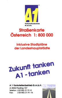
At the time this 1997 map of Austria was issued, A1 operated a mere six stations. As such, A1 is one of the smallest brands known to have issued road maps.
No description
No description
No description
No description

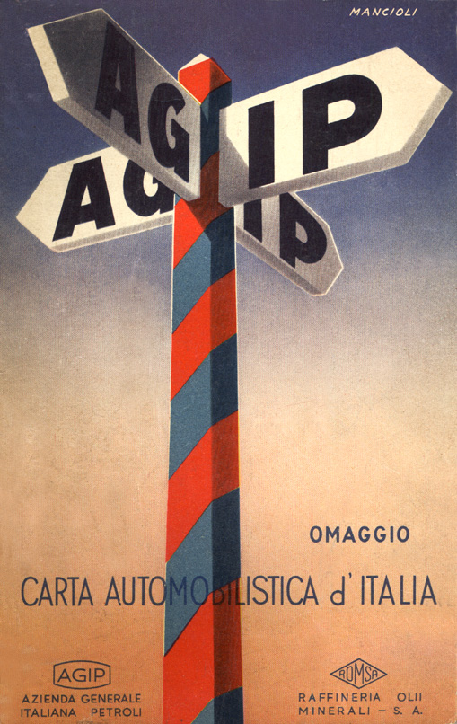
The Italian-based Agip company's name is a contraction of the words Azienda Generale Italiana Petroli, or roughly Italian General Petroleum Company. This map was issued in 1963.
No description
No description
No description
No description
No description
No description
No description
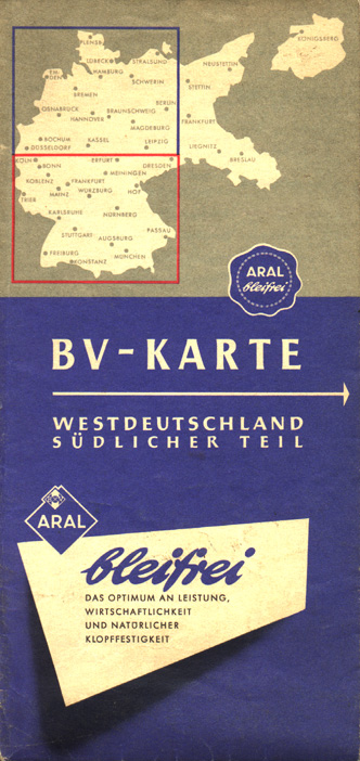
This map was issued by Aral during the Fifties. The map shows the diamond-shaped Aral logo and touts the "bleifrei" (lead-free) quality of its fuels, long before lead-free fuels became in vogue elsewhere.
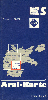
This 1970 Aral map still shows the pre-1938 German boundaries, in spite of the fact that Germany had been stripped of some of its eastern territory (including East Prussia) following World War II. The partitioning of Germany into East and West is not even noted on the cover map. Due to Cold War politics, the status quo in Germany was often not recognized by mapmakers.
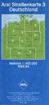
Following Germany's reunification in 1990, the German government agreed to recognize the borders with Poland that had been the de facto border since the end of World War II. Subsequently, the four Allied powers (France, Great Britain, the Soviet Union, and the United States) ended the occupation that began with Germany's defeat in 1945 and which had persisted through the Cold War. This 1993 Aral map shows the actual German frontiers as of that date.
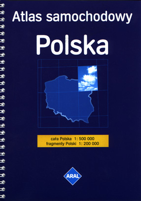
This spiral-bound atlas was issued by the Polish Aral affiliate in 1999. Following the opening of Eastern Europe, German-based Aral expanded into a number of former Eastern bloc nations. Aral also issues a smaller folding road map of Poland.
No description
A small but aggressive independent, Avanti started in Austria but has expanded to other European countries, particularly those in the former eastern bloc. This map was issued in 1998.
No description
No description
No description
No description
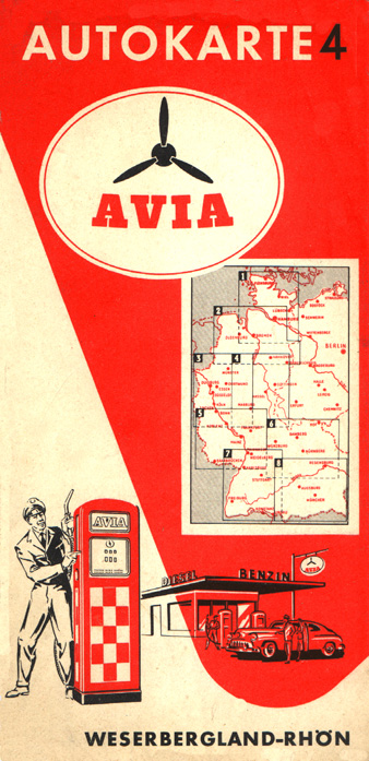
The Avia name originated in the Twenties as a means of providing brand identification for several independent oil companies operating in several European countries in the face of competition by the major brands. This Avia map of Austria was issued in the early Sixties.
No description
No description
No description
No description