Oil company maps – North America – T
No description
No description
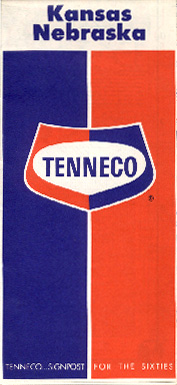
This early-Sixties map was issued shortly after a former pipeline company, the Tennessee Gas Transmission Company, was renamed to Tenneco, and entered gasoline marketing. The company merged with Bay Petroleum of Denver in 1961 and later issued dual-branded maps.
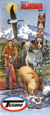
Primarily an exploration and production company, Tesoro entered retail marketing in 1968 with its purchase of Sioux Oil of Newcastle, Wyoming. Marketing is now concentrated in Alaska and the pictured map stands as one of the few examples of this company's maps.
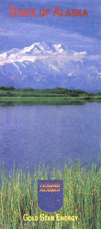
This map of Alaska was issued by Tesoro in 1995.
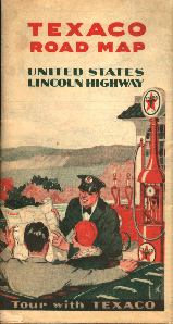
Even during the heyday of beautiful map designs, Texaco map designs tended toward the monotonous. Given this lackluster tendency and the fact that Texaco maps are extremely common, Texaco maps seldom provoke enthusiasm. The pictured map, however, is one of the more unusual in my collection. Rather than covering a state or a region as do most maps, it covers the Lincoln Highway (U. S. 30) from coast to coast. This map dates from 1929 and uses a standard cover design used by Texaco in that era on its maps from the U. S. and elsewhere.
No description
This 1937 map is probably the most colorful Texaco design from the pre-war period. As with the 1929 design, this cover style was used for some of Texaco's European operations during the late Thirties.

This large-scale trip map was issued by Texaco's touring service and showed road closures, construction zones, and so forth. This map was issued in 1941.
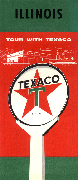
This 1956 map is typical of the uninspiring cover designs used by Texaco.
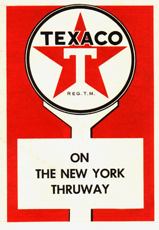
This unusual Texaco map was issued to show service station facilities on the then-new New York Thruway in 1956.
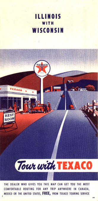
This Texaco cover style is probably the best of the postwar issues from the company's U. S. operations. While not particularly noteworthy in terms of design, the bold, contrasting colors are more attractive than most of the Texaco maps from the quarter century preceding this map's 1959 issuance.
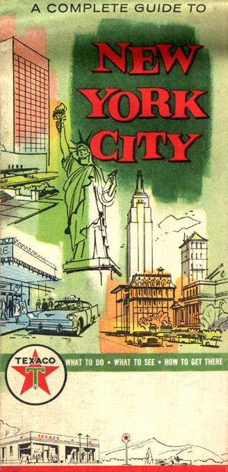
This somewhat-unusual 1961 map includes a sightseeing guide to New York City.
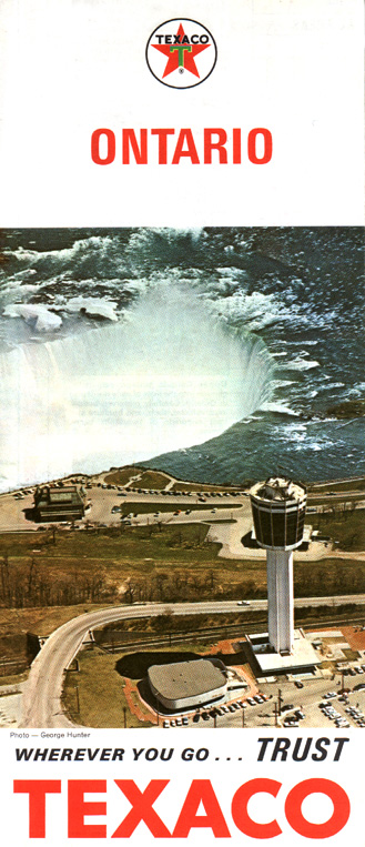
With the departure in the mid-Sixties from the standard design used by Texaco maps for the company's holdings throughout North and South America, Texaco maps in that part of the world began to depict photographs of some typical scene local to the map's territory. While maintaining this general motif, the maps issued by Texaco Canada depart slightly from the standard appearance. This map was issued in 1965.
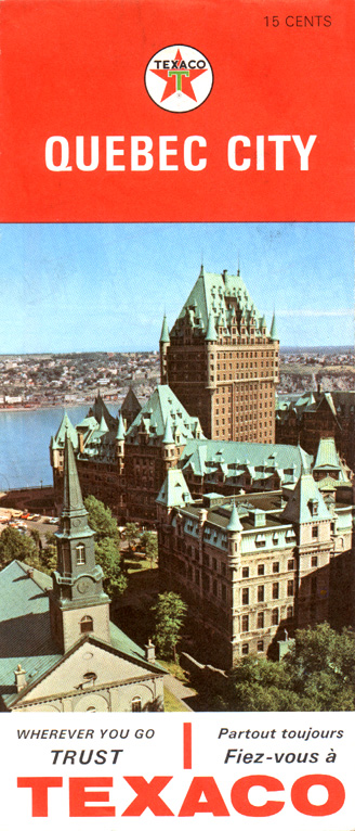
This 1965 map of Québec City (Ville de Québec in French) represents even more of a departure from the standard Texaco appearance of the time period. The red top — used on Texaco's Canadian city maps — is somewhat suggestive of the familiar Esso design used worldwide throughout the Fifties and early Sixties.
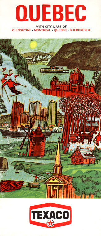
This 1968 map of the province of Québec departs from the earlier photographic image style and instead uses artwork to depict scenes from that province.
A little plainer than earlier Canadian Texaco issues, this 1971 map from Texaco Canada puts to shame its U. S. equivalents from the same year.
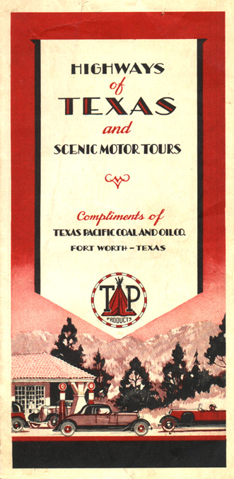
Issued by the Texas Pacific Coal & Oil Company in 1934, this map indicates that the company used a logo containing a Native American teepee, which forms the phonetic pronunciation of the company's "TP" brand name. Texas Pacific was acquired by Humble in 1945, and its stations were rebranded to the Humble name thereafter.
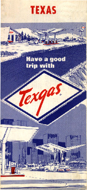
Texgas was a regional marketer based in Houston, Texas that became part of Allied Chemical, and operated gas stations into the Eighties. This map dates from the Sixties.
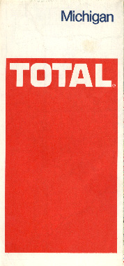
Total Petroleum is a worldwide operation and is a consortium supported by the French government. Its entry into U. S. marketing took place in 1970 with the acquisition of Leonard Refineries of Michigan, and Total has expanded further, following the acquisition of several other regional marketing firms.
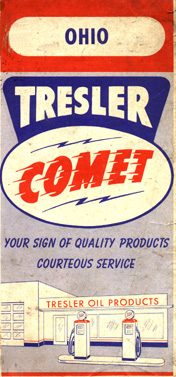
The Tresler Oil Co. was a small Cincinnati, Ohio-based retailer marketing in Cincinnati and neighboring parts of Ohio, Indiana, and Kentucky. This map dates from 1960.
This is another map from the Tresler Oil Co. with a more modern appearing cover. This map dates from 1971. Tresler was bought by Ashland in 1985, and Tresler Comet stations were rebranded to Ashland or Superamerica.
Turbo Resources Ltd. is a refiner/marketer based in western Canada and operating as far east as Manitoba.
The Tide Water Oil Company was an old New York-based company which marketed along the east coast, and started using the Tydol brand name around 1915. This map was issued in 1927.
In 1938, Tide Water merged with California-based Associated, and would soon add the western company's Flying A logo to Tydol signage on the east coast. This map was issued the year of the merger before the brand name change took place.
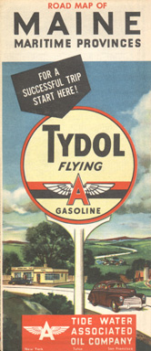
From 1938 to 1955, the Associated Tide Water Oil Company operated Associated Flying A stations on the west coast and Tydol Flying A stations on the east coast and midwest. The midwestern operations were sold off in the late Forties. This map was issued in 1947.
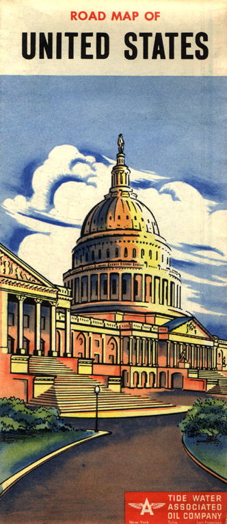
This map of the United States features the U. S. Capitol, and was part of a fairly attractive map series featuring watercolors of scenes from the map's territory. This map was issued issued in 1950. In 1956, the Associated and Tydol designations were dropped from the west and east coast operations (respectively), and the brand became known as simply Flying A throughout the company's territory.