Oil company maps – Europe and the British Isles – T
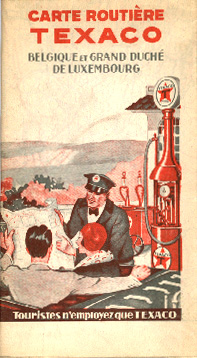
During the late Twenties and early Thirties, Texaco used a nearly identical cover design for its operations in the United States and Europe. Other than the dimensions and language, this map of Belgium and Luxembourg is virtually indistinguishable from the cover designs of Texaco's United States map issues of the period.

This Texaco map — its design unique to Belgium — was issued in 1939, just prior to the outbreak of World War II. As such, it is one of the last issues of the "original" Texaco brand in Europe. As Europe rebuilt at war's end in the late Forties, the Texaco name disappeared as Texaco and Standard Oil of California formed a partnership using the Caltex brand name. The disappearance of Texaco from Europe was temporary, as the European part of the Caltex partnership was dissolved in 1967.
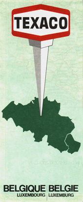
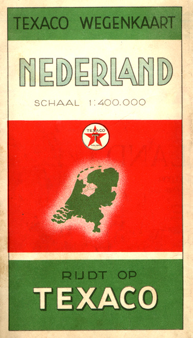
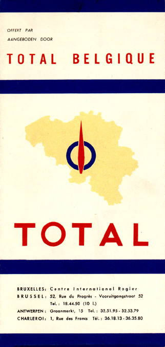
Issued over three decades after the earlier Texaco Belgium issues, this 1971 issue reflects what was a standard design for Texaco's European operating companies of that period. Featuring a country outline and green tint, these maps are slightly reminiscent of the standard road map design used in Europe and elsewhere by Caltex before Caltex's parents split up the firm into separate Chevron and Texaco components in the late Sixties.
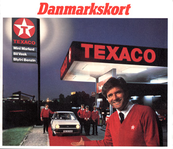
This map of Denmark was issued during the early Nineties, just before Texaco sold its Danish operations to Norsk Hydro.
No description
No description
No description
No description
No description
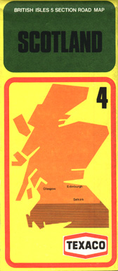
This Texaco map of Scotland is typical of the design used for the company's U. K. operations in the late Seventies. This map has a 1977 date.
No description
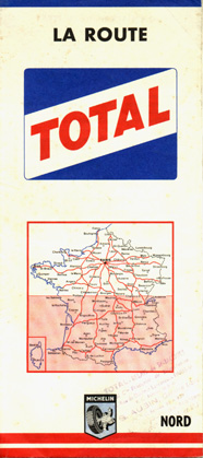
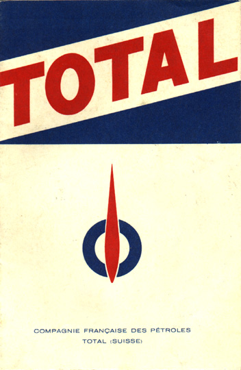
Long a well-known name in its native land of France, the Total brand name has expanded into North America through acquisition of regional marketers. This 1961 map covers northern France and uses Michelin cartography, a fact given away by the small Michelin man logo at the map's bottom.
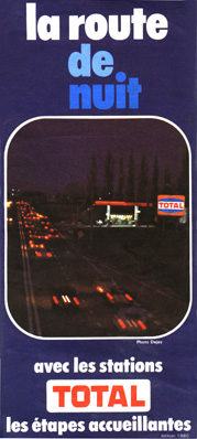
This 1980 map is a small folder issued by Total France and shows (visually as well as textually) Total stations which were open 24 hours.
No description
No description
No description
No description